A Bitter Thursday in Indy: Frigid Morning Leads to Afternoon Snow Showers
The Morning Freeze: Dress in Layers
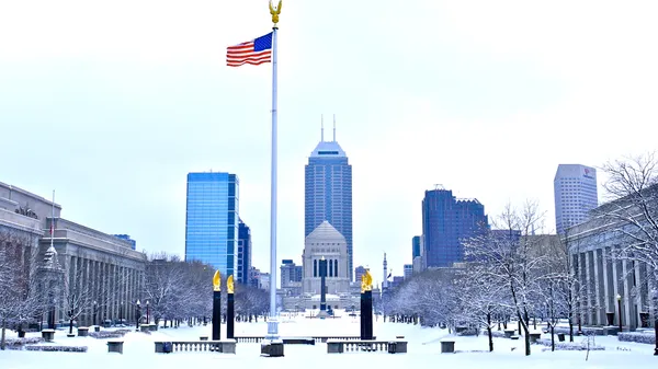
Indianapolis residents should prepare for a bone-chilling start to the day as arctic air firmly settles over Central Indiana. Today, Thursday, February 5, 2026, marks a sharp return to harsh winter conditions following a brief mid-week reprieve. Commuters heading out this morning will face temperatures in the low teens, but the real story is the biting wind chill. With northwest winds sustained between 5 and 10 mph, the "feels-like" temperature is expected to hover in the lower single digits through the morning commute.
While the sky may offer a few glimpses of sunshine between 7:00 a.m. and 11:00 a.m., cloud cover will remain the dominant feature. The combination of high humidity around 76% and the lack of solar heating means that frost will likely persist on windshields and untreated surfaces well into the late morning hours. If you are spending any significant time outdoors, heavy coats, insulated gloves, and face protection are highly recommended to combat the sub-zero wind chills.
Afternoon and Evening Outlook: Scattered Snow on the Way
As we move into the afternoon, the mercury will struggle to make much progress, with a projected high peaking at only 26°F to 28°F. By early afternoon—roughly around 1:00 p.m.—meteorologists expect moisture to interact with the cold air mass, leading to the development of scattered snow showers across the Indianapolis metro area. These "clipper-style" bursts are anticipated to be light but numerous.
By the evening rush hour, between 4:00 p.m. and 7:00 p.m., the frequency of these snow showers may increase. While major accumulation is not currently forecast, these quick bursts can lead to sudden reductions in visibility and can easily coat roads that have not been recently treated. The light, fluffy nature of the snow expected today means it can easily blow across highways, creating intermittent whiteout conditions for drivers on I-465 and I-70.
Wind Chills and Driving Conditions
- Morning: Bitterly cold with wind chills in the single digits. Mostly cloudy skies with occasional flurries.
- Afternoon: Highs near 27°F. Increasing chances of scattered snow showers after 1:00 p.m.
- Evening/Night: Scattered snow continues through 10:00 p.m. Lows dropping to near 15°F.
- Wind: West/Northwest at 5-10 mph, occasionally gusting higher during snow bursts.
Commuter Safety Notice
The primary concern for the Circle City today is the potential for slick spots on bridges, overpasses, and neighborhood side streets. With temperatures remaining well below the freezing mark, salt may take longer to be effective. Drivers are urged to increase following distances and allow extra time for the evening commute. For those using public transportation, be sure to wait in sheltered areas, as the evening wind chills will quickly return to the single digits once the sun sets.