A Dusting of White: Indianapolis Braces for a Chilly, Snow-Kissed Sunday
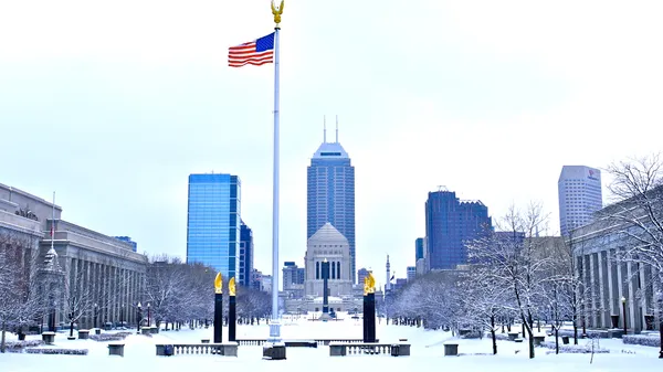
A Dusting of White: Indianapolis Braces for a Chilly, Snow-Kissed Sunday
After a week that saw dramatic shifts in the atmosphere, Sunday, February 22, 2026, brings a return to the classic Indiana winter chill. Residents across the Circle City should prepare for a day dominated by sub-freezing temperatures and the potential for light wintry precipitation. The unseasonable warmth and severe weather risks from earlier in the month have officially retreated, replaced by a cold air mass that will settle over Central Indiana for the remainder of the weekend.
The transition to this colder pattern follows a series of notable weather events, including recent reports of severe activity on February 19. However, for today, the primary concern for Indianapolis residents will be the biting wind chill and the possibility of slick spots on the roadways as moisture interacts with the freezing ground. With sunrise occurring at 7:29 AM and sunset scheduled for 6:27 PM, the city will experience roughly 11 hours of daylight, though much of it will be obscured by thick cloud cover.
Detailed Daily Breakdown
- Morning (7:00 AM – 12:00 PM): The day begins with a sharp cold. Temperatures will start near 26°F, but a brisk breeze will make it feel significantly colder, with wind chill values dipping as low as 16°F. There is a 20% chance of light snow showers during the morning hours, which could create a thin dusting on grassy surfaces and windshields. Drivers are advised to allow extra time for defrosting vehicles before the morning commute.
- Afternoon (12:00 PM – 5:00 PM): Clouds will remain thick throughout the midday period, blocking out most of the winter sun. The high for the day is expected to reach only 31°F, keeping the city just below the freezing mark. While significant accumulation is not expected, the persistent cloud cover and "feels like" temperatures in the low 20s will make for a raw afternoon for anyone heading to downtown events or local parks.
- Evening and Night (5:00 PM – Midnight): As the sun sets, temperatures will begin a steady decline back toward an overnight low of 22°F. The chance of snow remains at a low 20% throughout the evening, but the atmosphere will stay mostly cloudy. Humidity levels are expected to hover around 59%, ensuring that any lingering dampness on the roads may freeze overnight, leading to potential black ice on secondary roads.
Wind, Hazards, and Safety
The National Weather Service has maintained a Hazardous Weather Outlook for the region. While no major snowstorms are on the immediate horizon, the combination of sub-freezing temperatures and light flurries can create localized travel hazards, particularly on bridges and overpasses. Residents are reminded to be cautious of the 31°F high, as temperatures staying below freezing means that any moisture on the ground will likely remain frozen throughout the day.
Looking ahead, the cold snap is expected to persist into Monday, with similar temperatures and cloudy skies continuing to define the final week of February. For today, the best advice for Indianapolis residents is to bundle up in layers, protect sensitive plants, and keep the ice scrapers handy for the evening commute.