Arctic Chills and Snow Hazards: Indianapolis Digs Out Under Record Cold
Bitter Morning Conditions and Extreme Cold Warnings
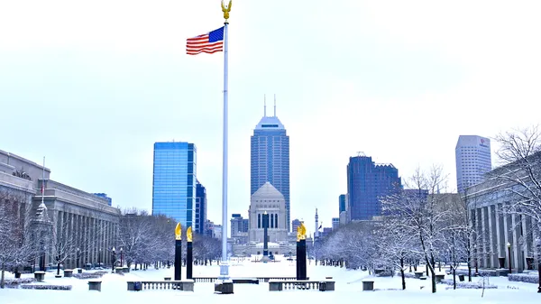
Indianapolis residents are waking up to a punishing deep freeze this Tuesday, January 27, 2026. Following a historic weekend snowstorm that dumped 11.1 inches of snow on the Circle City—the largest two-day total in over a decade—the primary concern has shifted to life-threatening temperatures. An Extreme Cold Warning remains in effect through 9:00 a.m. this morning as wind chills have plummeted to between -15 and -30 degrees Fahrenheit.
As of early morning, temperatures are hovering near 7°F but feel significantly colder due to lingering gusts. Local officials have maintained a Yellow Travel Advisory for Marion County, urging motorists to remain cautious. While roads are being cleared, the extreme cold has made cleanup efforts difficult, leading many school districts and businesses to transition to e-learning or delayed starts today.
Afternoon Outlook: Cloud Cover and Light Flurries
The mercury is expected to climb slowly throughout the afternoon, eventually reaching a projected high of 18°F. The sky will remain partly cloudy for much of the day, though there is a 20% chance of additional light snow showers moving through Central Indiana. Despite the slight rise in temperature, the arctic air mass remains firmly entrenched over the region.
- Morning: Subzero wind chills with overcast skies; extreme cold warnings active until 9:00 a.m.
- Afternoon: High of 18°F with persistent cloud cover and a 20% chance of light snow.
- Evening: Temperatures begin a sharp decline back toward a low of -6°F under clearing skies.
Evening Forecast and Travel Hazards
As the sun sets, the temperature will drop rapidly, heading toward an overnight low of -6°F. While the snow has largely tapered off, the National Weather Service warns of blowing and drifting snow this evening. Gusty winds may push the fine, powdery snow back onto recently cleared roadways, creating slick spots and reduced visibility for commuters. Residents are advised to limit travel where possible and to ensure vehicles are equipped with emergency kits, including blankets, flashlights, and water.
Safety and City Services
Due to the prolonged period of dangerous cold, the city has activated emergency warming centers. Mayor Joe Hogsett has requested that community members stay home if they can to allow road crews to finish clearing secondary streets. The current arctic blast is predicted to last through the middle of the week, with wind chill concerns potentially extending into Wednesday morning. Highs are expected to stay near or below 20°F for the remainder of the week, keeping Indianapolis locked in a significant winter freeze.