Arctic Grip: Indianapolis Faces Frigid Reality After Major Winter Storm
Post-Storm Reality: A Dangerous Deep Freeze
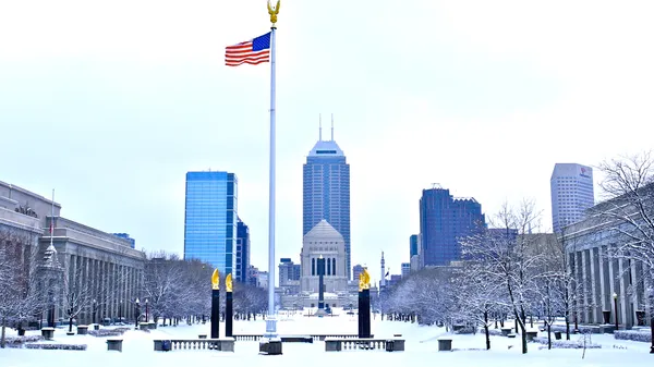
Following a weekend defined by heavy snowfall and a state of emergency, Indianapolis residents are waking up to a dangerously cold Monday. The massive winter storm that blanketed the region with 8 to 16 inches of snow in some areas has moved out, but in its wake, an arctic air mass is settling over Central Indiana. Today, January 26, 2026, the challenge shifts from shoveling snow to surviving record-breaking low temperatures and biting wind chills that have transformed the city into a frozen landscape.
Morning: A Hazardous Commute and Virtual Classrooms
As of early Monday morning, the Winter Storm Warning has officially expired, but the hazards on the road remain significant. With temperatures hovering around 4°F at sunrise and wind chills dipping as low as -10°F, the fresh snowpack is creating a treacherous environment for anyone attempting to travel. Many local school districts have opted for virtual learning or complete closures today to keep buses and students off the roads. Notably, Purdue University Indianapolis has announced a shift to fully virtual operations, urging students and non-essential staff to stay home while campus operations remain limited due to the extreme conditions.
Afternoon: Biting Winds and Blowing Snow
Expect little relief as the day progresses. While the skies may remain mostly cloudy with occasional sunny breaks, the high temperature is forecast to struggle, peaking only between 7°F and 10°F. The primary concern for the afternoon is the increasing northwest wind, which will reach sustained speeds of 15 to 20 mph. Gusts up to 35 mph are expected, which will likely cause significant blowing and drifting of the existing snow. This will reduce visibility on north-south corridors and potentially undo the work of overnight plow crews. Wind chill values will remain stubbornly near or below zero throughout the peak of the day.
Evening and Night: The Plunge into Negative Territory
The mercury is set to drop even further as the sun sets. Evening temperatures are predicted to dip into negative territory, with the potential to reach an air temperature of -4°F by late tonight. The persistent northwest wind will keep wind chills in the -10°F to -20°F range. Forecasters warn that this level of cold can cause frostbite on exposed skin in a short period. Officials continue to advise that if travel is absolutely necessary, motorists should carry an emergency kit containing blankets, flashlights, and extra water.
Safety Alerts and Travel Notices
- Extreme Wind Chill: Values between -10°F and -20°F are expected through Tuesday morning.
- Blowing Snow: Northwest winds gusting to 35 mph will cause drifting on treated roads.
- Travel Advice: Use extreme caution; the Indiana Department of Transportation continues to monitor road temperatures for salt effectiveness in the deep freeze.
- School Status: Most Marion County schools are operating virtually; check local listings for specific district updates.