Bitter Chill and Tapering Flurries: A Shivering Saturday Ahead for Indianapolis
Winter's Grip: Bitter Cold and Lingering Flurries for Saturday
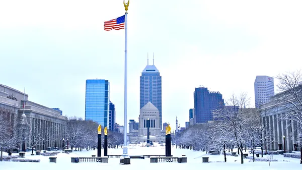
Residents of Indianapolis are waking up to a harsh reminder of winter's power this Saturday, February 7, 2026. A combination of a departing clipper system and an influx of Arctic air has settled over Central Indiana, bringing dangerously low wind chills and a light dusting of fresh snow to the Circle City. Lead meteorologists indicate that while the snow may be light, the extreme cold will be the primary concern for anyone heading outdoors today.
A Frigid Morning Start
The early hours of Saturday are dominated by a Cold Weather Advisory, which remains in effect until 12:00 PM EST. The morning is characterized by a bitter chill as the region remains caught in a thermal trough. While actual air temperatures are starting in the low teens, the real story is the wind chill. Data indicates that wind chills could reach as low as 9 to 15 degrees below zero throughout the morning. Public health officials recommend dressing in multiple layers, including hats, face masks, and gloves, as these temperatures can result in hypothermia if proper precautions are not taken.
Afternoon Snow and Clouds
As we move into the afternoon, the sky will remain largely overcast. The National Weather Service reports that light snow, which provided a light coating across the region earlier in the day, will continue to linger through the mid-afternoon hours. The high temperature for the day is forecast to struggle to reach just 21°F, keeping the city well below the seasonal average. While total accumulations are expected to be minor, even a light coating can create deceptive road conditions during the afternoon hours.
Evening Outlook and Travel Hazards
By early evening, the light snow is predicted to taper off into intermittent flurries. However, as the sun sets and the system departs, the drop in temperature poses a secondary risk for motorists. Key hazards for the evening and overnight include:
- Slick spots on bridges and overpasses where moisture may freeze quickly.
- Reduced visibility during any lingering heavier snow bursts.
- Plunging temperatures reaching a low of approximately 12°F overnight.
- Potential for slick roads to persist in southern and southeastern counties into the late night.
Safety and Precautions
Given the combination of sub-zero wind chills and potential travel hazards, local authorities urge caution for the remainder of the day. If you must be outside, limit your exposure time and ensure all skin is covered. Motorists are advised to allow extra time for travel and to remain vigilant for black ice on elevated surfaces. While the clipper system is expected to exit the region by Sunday, the bitter cold is likely to remain a fixture of the Indianapolis forecast for the duration of the weekend.