Bitter Cold and Squall Threats: A Frigid Thursday for the Circle City
Arctic Grip Tightens Across Central Indiana
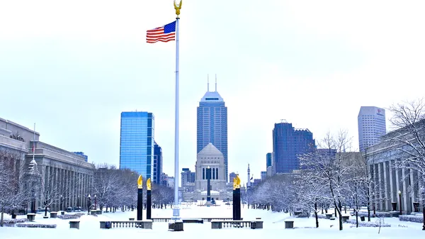
Indianapolis remains firmly in the grip of a relentless arctic air mass this Thursday, January 29, 2026. Following the historic winter storm earlier this week that blanketed the region in over 11 inches of snow, the expansive snowpack is reinforcing the freeze. As the lead editor for indianapolis.news, we are tracking a day of extreme temperatures and potential travel disruptions that residents must prepare for immediately.
Morning: Dangerous Wind Chills and Cold Advisories
The morning begins under a Cold Weather Advisory, which remains in effect until 10:00 AM EST. Early morning temperatures in Marion County have plummeted to a low of -8°F. However, the primary concern for commuters is the wind chill; values are expected to range between -15°F and -30°F during the early hours. While the sky may show brief breaks of sunshine, the lack of solar warmth against the high albedo of the fresh snow means the mercury will struggle to move. Frostbite on exposed skin can occur in as little as 30 minutes under these conditions.
Afternoon: Squall Risks and Shifting Winds
By midday, cloud cover will increase as a secondary cold front moves through the Ohio Valley. We anticipate a daytime high of approximately 16°F, though it will feel much colder. Between 11:00 AM and 4:00 PM, scattered snow showers are predicted, with the potential for brief, intense snow squalls. These squalls could cause sudden drops in visibility and hazardous driving conditions on major thoroughfares like I-465. Winds will shift to the northwest and increase to 10–15 mph, keeping afternoon wind chills hovering between -5°F and +5°F.
Evening and Overnight: The Deep Freeze Continues
As the sun sets, the threat of squalls will diminish, leaving mostly cloudy skies and a 20% chance of light snow or flurries. Temperatures will retreat toward an overnight low of 2°F. While the cloud cover may prevent the extreme record-breaking lows seen earlier in the week, the sustained cold remains a threat to local infrastructure and pets. Looking ahead, meteorologists suggest that Indiana may not break back above the freezing mark until well into the first week of February.
Weather Alerts and Safety Tips
- Cold Weather Advisory: Active until 10:00 AM today. Limit outdoor exposure and wear multiple layers of wind-resistant clothing.
- Travel Warning: Be prepared for rapid changes in visibility during the afternoon. Ensure your vehicle is equipped with an emergency kit.
- Home & Pets: Bring all pets indoors and keep faucets dripping to prevent pipes from freezing in the sustained sub-zero wind chills.