Central Indiana faces quiet early-week weather before heavier rain and stronger storm potential Tuesday night
A calm start, then a more complex midweek setup
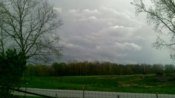
Central Indiana is expected to see a brief stretch of quiet weather to start the workweek, followed by increasing concerns for heavy rain and the potential for stronger thunderstorms late Tuesday into Wednesday. The shift is tied to a developing storm system expected to draw unusually moist air northward and then sweep a cold front across the region.
Through Monday, conditions are forecast to remain largely dry with temperatures rising well above early-March normals. Forecast guidance indicates sunshine and warm-air transport will push afternoon highs to around 70 degrees Monday, while southerly winds strengthen as the pressure gradient tightens. Cloud cover is expected to increase Monday night as moisture returns, with only a low-end chance for a sprinkle or isolated shower.
What changes Tuesday and Wednesday
The more significant impacts are expected from late Tuesday into Wednesday as northern- and southern-stream weather systems interact, helping form a stronger upper-level trough. At the surface, a low-pressure system and its cold front are forecast to move through Indiana, bringing a period of widespread rain and thunderstorms.
Rainfall is expected to be the primary concern, with locally heavy totals possible as deep moisture streams into the Ohio Valley. Forecast indicators point to precipitable water values near the climatological maximum for this time of year, a signal that downpours may be efficient and persistent where thunderstorms repeatedly track over the same areas.
Flooding context: rivers already elevated in parts of Indiana
The midweek rain threat comes as minor to moderate river flooding is ongoing across parts of central and southern Indiana, particularly south of Interstate 70. Additional heavy rainfall could worsen existing flooding and create new high-water issues, depending on where the heaviest bands set up and how quickly rain falls.
- Ongoing river flooding increases sensitivity to additional rainfall.
- Heavier downpours late Tuesday into Wednesday could prolong flooding impacts.
- Flood outcomes will depend on storm placement and duration, which can shift as the system approaches.
Severe storm potential: timing and details still evolving
Along with heavy rain, the midweek system could produce stronger storms. The most likely environment features strong wind shear with comparatively lower instability, a combination that can still support severe thunderstorms, especially if pockets of instability increase locally. Forecast details on the timing and severity remain uncertain because mesoscale factors—such as where clouds break, where boundaries form, and the exact track of the surface low—can significantly change storm intensity.
Residents are advised to plan for changing conditions Tuesday night and Wednesday, including the possibility of storms occurring after dark when warnings can be harder to receive.
After the system: cooler air late week
Temperatures are expected to fall behind the front later in the week, with cooler conditions returning by Thursday. Additional, weaker disturbances may bring lower-end precipitation chances later Friday and into next weekend.

Indianapolis 500 race day travel choices: on-site parking sold out, shuttles, bikes and rideshares detailed

Indiana Black Expo announces 2026 Music Heritage Festival outdoor concert lineup for Indianapolis Summer Celebration weekend

Indianapolis Economic Development Committee Convenes Today as City Navigates Major Budget and School Board Shifts