How Indiana’s county travel advisory system works and where warnings, watches, and advisories are posted
What Hoosiers should know about county travel statuses
Indiana uses a county-based system to communicate hazardous travel conditions during events such as winter storms, flooding, or other emergencies. The designations—Advisory, Watch, and Warning—are not issued by a single statewide authority for every community at once. Instead, each county’s emergency management agency determines its local status and reports it for statewide posting.
The statewide map is intended to provide residents, commuters, and freight operators a quick snapshot of how conditions differ from county to county. Because each county reports independently, the map can show a patchwork of statuses that change as weather and road conditions evolve.
What each level means
Advisory is the lowest level. It signals that routine travel or activities may be restricted in certain areas because of a hazardous situation. Drivers are expected to use caution or avoid affected areas.
Watch indicates conditions are threatening public safety. Essential travel—such as going to and from work or responding to emergencies—is recommended, and organizations may implement emergency action plans.
Warning is the highest level. It indicates travel may be restricted to emergency management workers only. People are directed to refrain from all travel and follow lawful instructions from properly identified public safety officials.
In Indiana, travel status information is provided by each county’s emergency management agency and updates as counties initiate advisories and notify the state.
A current example: Boone County issues a travel warning
Boone County officials placed the county under a “Warning” travel advisory effective 6:40 p.m. Sunday, January 25, 2026. The county described the action as the highest level of local travel advisory and stated that Boone County offices would be closed Monday, January 26, 2026.
County guidance for the warning level included refraining from all travel, complying with necessary emergency measures, cooperating with emergency operations, and obeying lawful directions from law enforcement and emergency personnel.
How to check your county and interpret differences across county lines
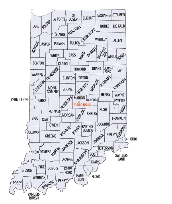
Indiana residents can check their county’s current status using the state’s county travel status map and table. Users can select a county from a map or dropdown list to see its current level and the most recent time it was provided.
Because counties may experience different snowfall totals, icing, drifting, or flooding, neighboring counties can be under different levels at the same time. Officials also note the map may require a manual refresh and does not automatically update within an open browser window.
For motorists, the practical takeaway is to verify status before departing—especially for commutes that cross county lines—and to treat changes in advisory levels as indicators of rapidly shifting road safety conditions.