Indianapolis faces another frigid morning as a colder weekend push raises wind chill concerns
Cold advisory conditions persist as arctic air remains anchored over central Indiana
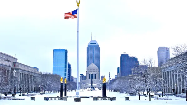
Indianapolis began Tuesday, Jan. 20, 2026, with another round of bitter cold, driven by an arctic air mass that has settled across much of the Midwest. Temperatures near dawn were in the single digits, while steady west winds pushed wind chills below zero for parts of the metro area.
A Cold Weather Advisory remained in effect through Tuesday morning in the Indianapolis area, reflecting the risk of rapid heat loss during outdoor exposure. Aviation observations from Indianapolis International Airport showed temperatures near 10 degrees with a subzero wind chill during the overnight period as skies stayed mostly clear and winds remained active.
Why the cold is lingering
The pattern responsible for the chill is tied to a deep trough in the jet stream over the central and eastern United States, allowing repeated deliveries of Canadian air. The broader setup has produced significant winter impacts elsewhere in the region, including lake-effect snow belts downwind of the Great Lakes and episodes of sudden snow squalls that can sharply reduce visibility on highways.
While central Indiana’s most immediate concern is cold rather than heavy snow, the same large-scale circulation can intensify wind and keep overnight lows suppressed, raising the likelihood of additional advisories when winds and temperatures align.
Even colder this weekend: what that means locally
Forecast guidance indicates the cold will relax temporarily midweek before another push of arctic air arrives later in the week, setting the stage for an even colder weekend. The most meaningful change for residents is often not the air temperature alone, but the combined effect of wind and cold that drives wind chill values lower and increases the risk of frostbite and hypothermia.
- Morning commutes are likely to remain the coldest part of the day, with the greatest wind-chill impact around sunrise.
- Any untreated moisture on sidewalks, steps, and secondary roads can refreeze quickly as temperatures fall after sunset.
- Outdoor exposure time becomes a key safety threshold when wind chills drop below zero.
Safety and infrastructure considerations
Cold snaps of this intensity can strain household systems and public services. Residents are typically advised to limit time outdoors, wear layered clothing that covers exposed skin, and ensure pets have adequate shelter. Prolonged periods below freezing can also raise concerns for vulnerable plumbing, particularly in older housing stock or areas with previous freeze issues.
With temperatures near or below single digits and wind chills dropping below zero, brief outdoor tasks can become hazardous without adequate protection.
Additional updates are expected as forecasters refine timing and intensity for the late-week and weekend cold, including whether new advisories will be needed for Indianapolis and surrounding counties.