Indiana’s spring forecast raises heat concerns, but a “heat dome” signal remains uncertain statewide
What a “heat dome” means—and why it matters for Indiana
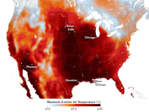
A “heat dome” is a weather pattern in which a broad area of high pressure in the upper atmosphere persists over a region, promoting sinking air, fewer clouds and sustained heat. When this setup locks in, temperatures can run well above seasonal averages for multiple days, and humidity can amplify health risks by limiting overnight cooling.
For Indiana, the practical impact is less about the label and more about the outcome: prolonged stretches of unusually hot afternoons and warm nights that raise the risk of heat-related illness, strain energy demand, and can affect agriculture and outdoor work.
What the spring outlook suggests (and what it does not)
Seasonal outlooks for March through May describe the odds of temperature and precipitation trends over weeks—not day-to-day conditions and not specific “heat dome” events. For much of Indiana, recent outlook materials have not shown a strong, consistent temperature signal typical of a confidently forecast hot spring. That means the state may still see warm spells, but the available spring guidance does not conclusively point to a persistent heat-trapping ridge developing over Indiana for an extended period.
At the same time, spring warmth can arrive in short bursts. Early-season heat episodes are possible even when seasonal probabilities are mixed, particularly when winds turn southerly ahead of storm systems and draw warmer air northward.
Why spring warmth can come with stormy side effects
In Indiana, rapid warming in spring often coincides with an active storm track. Warm, humid air moving into the Midwest can provide fuel for thunderstorms when cold fronts or upper-level disturbances sweep through. The result can be a volatile pattern: very warm days followed by rounds of storms, sharp temperature swings, and periods of heavy rain.
Key signs Hoosiers can watch for in forecasts
Several consecutive days of rising temperatures with limited overnight cooling.
Forecast maps showing a strong ridge of high pressure centered over the Midwest.
Heat index projections climbing well above air temperature due to humidity.
Heat advisories or excessive heat warnings, which signal a higher level of near-term confidence and risk.
Seasonal outlooks set expectations for broad trends; heat alerts and short-term forecasts determine when protective actions are needed.
Bottom line
Indiana’s spring can deliver brief surges of summerlike heat, but the available spring outlook signals do not, by themselves, confirm that a sustained “heat dome” will set up over the state. The highest-confidence guidance for residents remains the local, short-range forecast—especially when it begins to show multiple days of heat building under persistent high pressure.
As temperatures climb, planning for heat safety early in the season remains important, particularly for older adults, young children, people with chronic medical conditions, and those who work outdoors.