Morning Drizzle and Gray Skies: Navigating a Damp Sunday in the Circle City
Sunday Forecast Overview
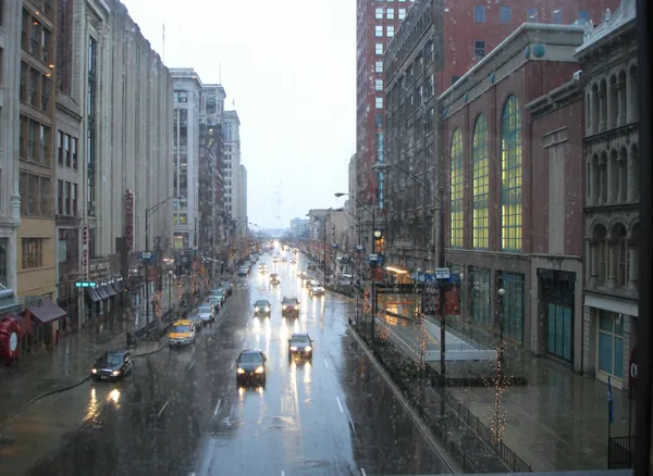
Indianapolis residents are waking up to a damp and overcast Sunday, February 15, 2026. The primary weather story for the day involves a transition from early morning rainfall to a cooler, drier evening. While the mercury will climb higher than in recent days, the moisture in the air and the persistent cloud cover will keep the city feeling decidedly wintry. Whether you are heading to a local brunch or planning a walk along the Cultural Trail, keeping an umbrella close at hand is highly recommended for the first half of the day.
Morning Rainfall and Chilly Starts
The morning hours will be the wettest portion of the day. Current data indicates a high probability of rain, approximately 99%, with light to moderate showers expected through the mid-morning. Early commuters and churchgoers will experience temperatures around 41°F, though high humidity levels—peaking at 95%—will create a damp chill that may feel cooler than the actual air temperature. Total precipitation for the day is expected to reach about 0.60 inches, which is significant enough to cause slick spots on major roadways like I-465 and I-70. Visibility may be reduced during periods of heavier drizzle, so extra travel time is advised.
Afternoon Peaks and Clearing Clouds
As we move into the afternoon, the steady rain is projected to taper off into scattered sprinkles before ending. The skies will remain mostly cloudy, though some models suggest the potential for brief breaks in the overcast by late afternoon. The high temperature for today will reach 51°F, a welcome rise compared to the freezing starts of the past week. However, a steady wind of approximately 6 mph will keep the "feels like" temperature closer to 47°F. Humidity will remain relatively high throughout the afternoon, hovering between 73% and 83%, keeping the air heavy even after the rain ceases.
Evening Outlook and Cooling Trends
The evening will see a gradual clearing of the skies as the city transitions to a partly cloudy night. Following sunset at 6:20 PM, temperatures will begin a steady descent toward a low of 35°F. While the rain will have exited the region, the combination of wet surfaces and falling temperatures could lead to localized patches of fog or light frost in suburban areas by the early hours of Monday morning. Winds will remain light, but the shift to a cooler night marks the end of this brief Sunday warm-up.
Sunday Weather Statistics at a Glance
- Maximum Temperature: 51°F
- Minimum Temperature: 35°F
- Precipitation: 0.60 inches (99% chance)
- Wind Speed: 6 mph
- Humidity: 73% - 83%
- Sunrise: 7:36 AM
- Sunset: 6:20 PM