Record Heat and Severe Storm Alerts: A Tumultuous Tuesday for Indianapolis
Historic Warmth Grips the Circle City
Indianapolis is waking up to a highly unusual weather pattern this Tuesday, March 10, 2026. Lead meteorologists have designated today as a Weather Impact Alert Day due to a combination of record-breaking warmth and an approaching severe storm system. Residents can expect conditions that feel more like late April than early March, but the pleasant afternoon temperatures serve as the precursor to a potentially volatile evening. Highs are projected to reach a staggering 75°F, which would shatter the previous daily record of 74°F set back in 2009.
Morning: A Mild and Misty Start
The early morning hours began with a record-breaking warm minimum temperature, as the mercury refused to drop below 60°F overnight. While much of the city is dealing with morning mist and dense cloud cover, an initial line of showers and weak storms is expected to clear the central Indiana region by 9:00 AM. Conditions for the remainder of the morning will remain breezy and humid, with southwest winds gusting between 15 and 25 mph. Commuters should remain cautious of damp roadways and localized mist that may reduce visibility during the early rush hour.
Afternoon: Peak Heat and Record Territory
By midday, Indianapolis will enter the "warm sector" of an approaching cold front. Clouds may break for occasional sunny spells, allowing temperatures to soar into the mid-70s. Despite the warmth, it will be a blustery afternoon with sustained southwest winds around 13 mph and higher gusts. This period is expected to be largely storm-free, providing a final window for outdoor activities before the weather turns. However, the high humidity levels will continue to build, providing the necessary energy for the storm development forecasted for later tonight.
Evening and Night: Severe Storm Threat
The primary concern for public safety begins after 4:00 PM to the north-northwest, with the main line of storms expected to impact the immediate Indianapolis area after 8:00 PM. The Storm Prediction Center has placed parts of the region under an Enhanced Risk (Level 3 of 5) for severe weather. As the cold front collides with the record-breaking warm air mass, the following hazards are possible:
- Severe Thunderstorms: Likely to develop after sunset and continue into the early hours of Wednesday.
- Wind Hazards: Damaging gusts between 50 and 70 mph are possible within the strongest storm cells.
- Hail and Tornadoes: The atmospheric environment supports the potential for large hail and isolated, potentially strong tornadoes, particularly in the northwestern tier of the state.
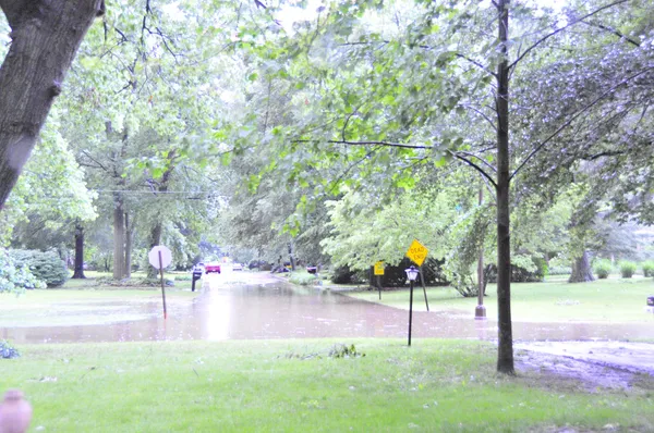
- Heavy Rainfall: Expect between 1 to 1.5 inches of rain, which may cause localized flooding in low-lying areas.
Indianapolis residents are urged to have multiple ways to receive weather alerts overnight and to secure any loose outdoor furniture before the wind intensifies this evening.