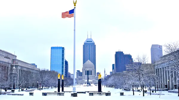
Saturday Shiver: Indianapolis Faces Sub-Zero Wind Chills and Incoming Snow
A Frigid Start for the Circle City
Indianapolis residents are waking up to some of the coldest air of the season this Saturday, January 24, 2026. Early morning observations from the Indianapolis International Airport recorded temperatures plummeting to a bone-chilling 4°F. When combined with a steady breeze of approximately 8 to 10 miles per hour from the north-northeast, the "feels like" temperature, or wind chill, has dipped as low as -9°F. The sky remains overcast, providing a somber backdrop to what promises to be a day defined by arctic air and the potential for wintry precipitation. Residents are urged to layer up heavily before heading out, as frostbite can occur on exposed skin in a relatively short amount of time under these conditions.
Afternoon Outlook: Slight Warming and Scattered Flurries
As we move into the afternoon hours, do not expect much relief from the cold. The mercury is forecast to climb to a modest high of only 13°F. While the city remains on the northern edge of a developing winter storm system, meteorologists are tracking a 25% chance of light snow showers or flurries during the daylight hours. Much of the heavier moisture is being suppressed to the south due to a strong area of high pressure situated over the western Great Lakes. This "northern block" is currently acting as a barrier, keeping the most significant accumulations focused toward the Ohio River Valley and Kentucky. However, local commuters should still be wary of slick spots on bridges and overpasses, as a light dusting remains a distinct possibility throughout the afternoon.
Evening and Overnight: Snow Chances Intensify
The risk for snow increases significantly as the sun sets. By Saturday evening, the probability of snow rises to 45%, with steadier light snow expected to develop across Central Indiana. Temperatures will begin their descent back toward the single digits, hovering around 4°F overnight. Humidity levels are expected to remain near 66%, contributing to a damp, biting cold that penetrates even the heaviest winter coats. While Indianapolis is unlikely to see major accumulations from this particular system compared to southern neighbors, those traveling south of Interstate 70 should prepare for more substantial snowfall and potential travel delays. Visibility may also be reduced during periods of active snowfall tonight.
Key Weather Data for Saturday, January 24
- High Temperature: 13°F (-11°C)
- Low Temperature: 4°F (-16°C)
- Wind Chill: As low as -9°F (-23°C) during the morning hours.
- Wind: North-northeast at 8 to 12 mph.
- Precipitation: 25% chance of snow showers during the day, increasing to 45% at night.
- Humidity: Approximately 66%.
Public safety officials advise residents to limit time outdoors and ensure that pets have adequate shelter from the sub-zero wind chills. If you must travel this evening, allow extra time for your commute and keep an emergency kit in your vehicle, including blankets and a flashlight, as a precaution against the frigid temperatures.