Slick Commute and Shifting Skies: Indianapolis Climbs Out of the Deep Freeze
A Shift in the Pattern: Indianapolis Breaks the Cold Spell
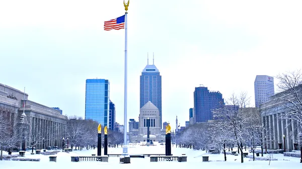
After a punishing stretch of sub-zero temperatures that kept the Circle City in a literal deep freeze, Indianapolis is finally seeing a reprieve this Monday, February 2, 2026. While the "warm-up" is relative, meteorologists are reporting that today will bring the highest temperatures the region has experienced in nearly ten days. However, the transition out of the extreme cold comes with its own set of challenges, including scattered snow showers and potentially hazardous road conditions during the peak travel hours.
Morning Forecast: Cold Start and Slick Roads
The morning began with temperatures in the low teens, roughly 10 to 15 degrees Fahrenheit. While significantly warmer than the negative digits seen last week, the air remains crisp and winter gear is still essential. The primary concern for the morning hours is the presence of scattered snow showers that moved into the area overnight. Local weather experts have noted the following for the morning commute:
- Temperature: Hovering between 10°F and 15°F through 9:00 AM.
- Conditions: Mostly cloudy with intermittent snow flurries.
- Visibility: Generally clear, though localized bursts of snow may briefly reduce visibility on I-465 and downtown corridors.
- Road Hazards: Isolated slick spots are expected, particularly on bridges, overpasses, and untreated side streets.
Afternoon and Evening: Reaching the Peak
As we head into the afternoon, the mercury is expected to climb to a high of 30 degrees Fahrenheit. This marks a turning point in the recent weather pattern, though it remains slightly below the seasonal average. The scattered snow showers are expected to persist periodically throughout the day, though accumulation will be minimal—likely less than half an inch in most parts of Marion County. The afternoon and evening breakdown includes:
- Midday: Highs reaching near 28°F with a 20% to 30% chance of light snow showers.
- Late Afternoon: Temperatures peaking at 30°F under heavy cloud cover.
- Evening: Clouds will linger as snow showers taper off. Temperatures will begin to dip back into the low 20s by 8:00 PM.
Safety Alerts and Wind Conditions
While there are no active heavy snow warnings or blizzard alerts, the National Weather Service and local meteorologists are emphasizing caution. Wind speeds are expected to remain relatively calm, though a light breeze from the northwest may still produce a minor wind chill effect, making the 30-degree high feel more like the low 20s. The main advisory for today remains focused on "black ice" and slippery surfaces. As temperatures hover near the freezing mark, any moisture on the roads from the afternoon flurries could refreeze quickly once the sun sets, creating dangerous conditions for the evening drive home. Residents are encouraged to stay updated with local news for any sudden shifts in the lake-effect patterns that could drift further south into central Indiana tonight.