Slick Start to Tuesday: Indianapolis Braces for Clipper Snow and Sub-Freezing Chills
Commuter Alert: A Snowy Start to the Day
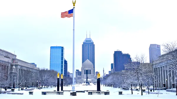
Indianapolis residents are waking up to a fast-moving 'clipper' weather system today, Tuesday, February 3, 2026. This system, which began moving through the Ohio River Valley in the early morning hours, is expected to impact the Tuesday morning commute with scattered snow showers and steadier snow bands mid-morning. Forecasters at the National Weather Service in Indianapolis have warned that while the system is fast-moving, its timing is particularly troublesome for those heading to work and school.
Morning Forecast: Snow and Travel Hazards
The snowfall began in earnest around 4:00 AM, with coverage remaining scattered but persistent throughout the early morning. As we move into the mid-to-late morning hours, more widespread snow is expected across Central Indiana. Travelers should be prepared for the following:
- Accumulation: A dusting to 2 inches is expected for much of the metropolitan area, with the highest totals likely occurring south and east of the I-70 corridor.
- Road Conditions: Slick spots are anticipated on highways and secondary roads. Drivers are urged to allow extra travel time and maintain a safe following distance.
- Temperatures: Morning lows will range from the mid-10s to the low 20s, keeping any precipitation strictly in the form of snow.
Afternoon Transition: Tapering Off
By midday, the bulk of the moisture is expected to shift east. Forecasters predict that snow chances for the immediate Indianapolis area will diminish significantly between 12:00 PM and 4:00 PM. Although the snow will stop, the clouds will linger, and temperatures will struggle to rise. The projected high for today is approximately 31 degrees Fahrenheit, keeping the city under the freezing mark for yet another consecutive day. Winds will remain relatively light, coming from the southwest at 5 to 10 mph before shifting westerly in the late afternoon.
Evening Outlook: Bitter Cold Returns
The evening hours will see a drying trend as the clipper system exits the region entirely. However, the clearing skies will lead to a sharp drop in temperatures. By 6:00 PM, temperatures are expected to fall back into the mid-and-upper 10s. Residents should be wary of 'black ice' forming on surfaces where the morning’s slush may have melted slightly and then refrozen. Looking ahead, another shot of arctic air is expected to arrive on Wednesday, reinforcing the current deep freeze before a potential warmup later in the week.