Spring Temperatures Clash with Early Storms in the Circle City
Morning Commute: Heavy Rain and Gusty Winds
The day begins with a significant weather event for Central Indiana. According to the National Weather Service, a line of strong storms is moving through the Indianapolis area this morning, with the primary activity expected to taper off between 8:30 AM and 9:00 AM. Residents should be prepared for heavy downpours and localized flooding during the early hours. Winds are a major concern this morning, with gusts potentially reaching as high as 50 MPH. Temperatures in the early morning will hover around a chilly 44°F, making for a damp and blustery start to the work week for those heading to the office or school.
Afternoon Outlook: A Dramatic Warm-Up
Once the morning storms clear the region, the weather in Indianapolis is set to take a much more pleasant turn. Skies will transition from overcast to mostly sunny or scattered clouds by midday. In a classic Indiana spring swing, temperatures will climb rapidly. By 1:00 PM, the mercury is expected to hit 63°F, eventually peaking at a high of approximately 72°F between 4:00 PM and 6:00 PM. This is significantly warmer than the seasonal average, offering a perfect opportunity for outdoor activities. Winds will remain steady from the south-southwest at around 15 MPH, providing a breezy backdrop to the unseasonably warm afternoon.
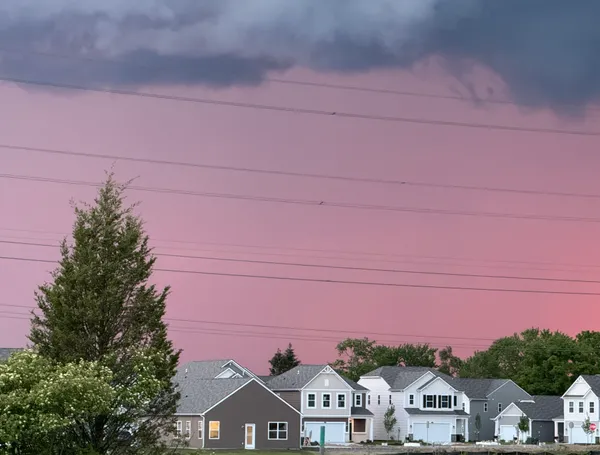
Evening and Overnight: Clouds Return
As the sun sets at 7:45 PM, the clear skies will begin to fill with clouds once again. Evening temperatures will remain quite mild compared to typical March nights, staying in the upper 60s through 8:00 PM and only dipping to about 65°F by late night. While most of the evening will be dry, there is an increasing chance of rain—roughly 20%—moving in after midnight as a precursor to Tuesday's expected precipitation. Humidity will rise to around 69%, signaling the approach of more active weather expected later in the week.
Summary of Conditions
- Morning: Strong storms and heavy rain until 9:00 AM, high wind gusts up to 50 MPH, temperatures near 44°F.
- Afternoon: Rapidly clearing skies, peak high of 72°F, steady SSW winds at 15 MPH.
- Evening: Increasing cloudiness, mild temperatures between 65°F and 70°F, and a slight chance of late-night rain.
- Alerts: Exercise caution during the morning commute due to potential localized flooding and wind-driven debris.

Indianapolis 500 race day travel choices: on-site parking sold out, shuttles, bikes and rideshares detailed

Indiana Black Expo announces 2026 Music Heritage Festival outdoor concert lineup for Indianapolis Summer Celebration weekend

Indianapolis Economic Development Committee Convenes Today as City Navigates Major Budget and School Board Shifts