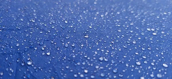
Umbrellas at the Ready: Thunderstorms and Spring Showers Soak Indianapolis
A Damp Start to the Weekend
Indianapolis residents waking up this Saturday, March 7, 2026, will find a gray and soggy start to their weekend. Forecast data indicates a high-pressure system moving out to make way for significant moisture, bringing an overcast sky and a near-certainty of precipitation. With a 92% to 93% chance of rain throughout the day, the Circle City is in for a thorough soaking that will likely impact outdoor morning plans and local commutes.
Morning: Overcast Skies and Rising Humidity
The morning hours will feature heavy cloud cover and high humidity levels, hovering around 85%. Temperatures are starting off unseasonably mild for early March, sitting near 64 degrees Fahrenheit in the early hours. While the heaviest rain is expected later in the day, patchy drizzle and light showers are likely to develop before noon. Visibility may be slightly reduced during periods of heavier mist, so drivers on I-465 should exercise caution on potentially slick road surfaces.
Afternoon: Peak Warmth and Potential Thunderstorms
As we move into the afternoon, temperatures are expected to climb to a daily high of approximately 68 degrees Fahrenheit. However, this warmth comes with increased atmospheric instability. Forecasts predict the development of scattered thunderstorms across Central Indiana between 1:00 PM and 5:00 PM. While severe weather is not currently under a formal warning, the presence of lightning and brief, heavy downpours is expected. Total rainfall for the day is estimated to reach approximately 0.5 inches, which could lead to minor ponding in low-lying areas.
Evening and Overnight: A Cooling Trend
By the evening, the bulk of the rain will begin to taper off as the storm system moves eastward. The chance of precipitation drops significantly to around 20% after sunset. Skies will remain mostly cloudy to overcast, but the air will begin to cool. Overnight lows are expected to settle near 48 degrees Fahrenheit, a notable drop from the daytime highs but still relatively moderate for this time of year. Winds will remain steady from the southwest at approximately 14 miles per hour, occasionally gusting higher during the afternoon transition.
Wind and Rain Summary
- Temperature Range: A high of 68°F and a low of 48°F.
- Rainfall: 93% chance of precipitation with roughly 0.5 inches of total accumulation.
- Wind: Sustained southwest winds at 14 mph.
- Alerts: No active severe weather warnings, though residents should remain alert for lightning during afternoon thunderstorms.
One critically injured and four detained after early Saturday shooting on Indianapolis’ northeast side
Downtown Indianapolis shooting leaves one person in critical condition as police investigate early-morning gunfire