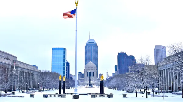
Cloudy Skies and Chilly Flurries: A Sharp Start to March in Indy
A Crisp Kick-off to the Month
Indianapolis residents waking up this morning, Sunday, March 1, 2026, will feel a distinct bite in the air as the city navigates a brief weather "speed bump." While the upcoming week promises a surge into much warmer territory, today is defined by stubborn cloud cover and temperatures that struggle to climb out of the low 40s. As the lead editor for Indianapolis.news, I recommend keeping your winter coat within reach, as the transition into spring isn't quite here yet.
Morning: Frosty Starts and Flurries
The morning hours will remain predominantly overcast with a starting temperature hovering around 30°F to 33°F. Early commuters and those heading out for morning services may encounter light snow flurries or a dusting of winter mix. While significant accumulation is not expected, the damp conditions combined with a northeast wind will make the "feels like" temperature dip into the mid-20s. Humidity is expected to stay high, near 77%, adding a damp chill to the early Sunday air.
Afternoon: Peak Temps and Gusty Breezes
As we move into the afternoon, the mercury is expected to reach a daily high of approximately 44°F. However, don't expect much help from the sun; the sky will remain mostly cloudy throughout the day. A 50% chance of rain showers develops after midday, particularly for those in Marion County and the surrounding suburbs. Adding to the chill, northeast winds will persist at 10 to 15 mph, with occasional gusts reaching up to 25 mph. These gusts may make outdoor activities feel considerably colder than the thermometer suggests.
Evening and Overnight: The Freeze Returns
The mercury will begin its descent back toward the freezing mark as the sun sets at 6:36 PM. Evening temperatures will settle in the mid-30s, accompanied by a lingering 20% chance of snow or light drizzle. Looking ahead to the late-night hours, forecasters are watching for the potential of freezing drizzle after midnight as lows drop to a chilly 28°F. This could lead to some slick spots on elevated surfaces and bridges by the Monday morning commute.
What to Expect This Week
- Monday: A slight warmup begins with highs near 51°F and mostly cloudy skies.
- Midweek Surge: Prepare for a major shift as temperatures are forecasted to climb into the 60s and 70s by Wednesday and Thursday.
- Precipitation: While today is relatively dry, a much more active and stormy pattern is expected to arrive by Tuesday, bringing heavy rain and potential thunderstorms.
Stay tuned to Indianapolis.news for real-time updates on changing road conditions and any developing weather alerts throughout the day.
Circle City Briefing: Tournament Heat Meets a Foggy Commute
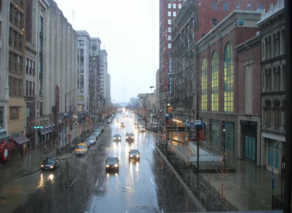
Soggy Skies and Foggy Commutes: Indianapolis Braces for a Rain-Soaked Thursday