Morning Snowfall to Give Way to Sunny Skies: What to Expect in Indianapolis Today
A Cold and Snowy Start to the Week
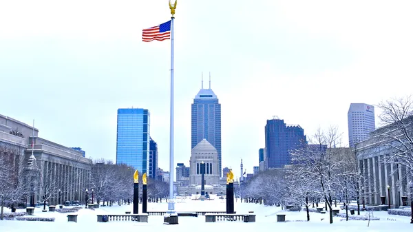
Residents of Indianapolis woke up to a winter landscape this Monday morning, March 2, 2026. Current conditions at daybreak report moderate to heavy snowfall across the Marion County area, with a high probability of precipitation remaining near 93% through the early morning hours. As of 4:00 AM, temperatures have dipped to a chilly 29°F, though wind chill factors are making it feel closer to 21°F. This late-winter burst of snow marks the first significant accumulation for the month, requiring commuters to allow for extra time on the roads during the early rush hour.
Midday Rebound and Afternoon Sunshine
The good news for those tired of the gray skies is that the heavy morning snow is expected to taper off significantly by mid-morning. As we move into the afternoon, the forecast calls for a transition to partly sunny skies. While the morning was dominated by wintry conditions, the clouds will break to allow for approximately six hours of bright sunshine. Temperatures are predicted to rebound from their early morning lows, reaching a daytime high between 38°F and 40°F. Humidity remains relatively high at 72%, which may keep the air feeling crisp despite the solar peak.
Evening Forecast and Wind Conditions
As the sun sets, the clear afternoon skies will gradually give way to increasing cloud cover. By the evening hours, between 6:00 PM and 10:00 PM, the weather is expected to remain dry with temperatures steadying in the mid-20s. Winds, which were light and variable throughout the morning, will shift to come from the south at approximately 10 mph. This shift in wind direction will help prevent temperatures from plummeting too far overnight, though a 20% chance of light rain or flurries remains in the forecast for the late-night hours.
Forecast Highlights at a Glance
- Morning: Heavy snow likely (93% chance) with temperatures around 29°F and a wind chill of 21°F.
- Afternoon: Transition to partly sunny skies with a high of 40°F; light winds under 5 mph.
- Evening: Mostly clear initially, turning cloudy late; south winds increasing to 10 mph with lows in the mid-20s.
- Warnings: No active wind or flood warnings are in place, but motorists are advised to watch for slick spots on untreated surfaces following the morning's heavy snowfall.
Looking ahead, the early-week chill is expected to be short-lived, with a warming trend projected for Tuesday and Wednesday as temperatures climb into the 50s. For today, however, keep the heavy coats and snow boots handy as Indianapolis navigates this snowy start to March.

Circle City Briefing: Tournament Heat Meets a Foggy Commute

Soggy Skies and Foggy Commutes: Indianapolis Braces for a Rain-Soaked Thursday