Icy Starts and Afternoon Thaws: Navigating a Messy Thursday in the Circle City
Morning Commute: A Slippery Start
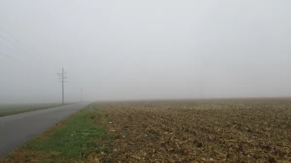
As Indianapolis wakes up this Thursday, February 26, 2026, residents should prepare for a complex and potentially hazardous start to the day. The early morning hours are expected to bring a mixture of light snow and freezing rain, with temperatures hovering right around the freezing mark at 32°F to 34°F. While the precipitation is expected to be light, the National Weather Service and local travel alerts indicate a significant threat to morning commuters. Slick conditions are highly likely on major interstates, particularly I-65 and I-70. Transportation officials are keeping a close eye on elevated ramps and bridges over the White River, as these surfaces are typically the first to ice over during late-winter moisture events.
Midday Transition and Temperature Peaks
By the time we reach the midday hours, the morning clouds and scattered flurries will begin to dissipate, yielding to a transition period. Despite the chilly start, Indianapolis will see a noticeable warming trend as we move into the afternoon. High temperatures are projected to climb to a relatively mild 49°F, providing much-needed relief from the morning frost. This 15-to-17-degree jump will likely lead to significant melting on roadways, though drivers should remain cautious of residual wet spots that may still be slick. Skies will remain mostly cloudy through lunch before gradually clearing to reveal sunnier intervals by late afternoon.
Evening Clarity and Overnight Chills
The evening forecast looks much calmer as the late-winter pattern shifts. Expect clearing skies and diminishing winds as the sun sets around 6:33 PM. However, the reprieve from the cold will be short-lived. As the city moves into the overnight hours, temperatures will plummet back down to a low of approximately 30°F. The humidity, which will sit around 60% throughout the day, may lead to some light frost formation on windshields by Friday morning. While the immediate threat of heavy wind gusts is expected to build more significantly later in the weekend, today will remain relatively manageable once the initial morning system passes.
Today’s Weather at a Glance
- High Temperature: 49°F (9°C)
- Low Temperature: 30°F (-1°C)
- Conditions: Light snow/rain mix early, becoming partly sunny by afternoon.
- Sunrise: 7:21 AM | Sunset: 6:33 PM
- Wind/Rain Warnings: Travel advisory in effect for I-65 and I-70 due to potential icing; motorists should watch for slick bridges and ramps over the White River.
Editor’s Note for Travelers
Given the forecasted freezing rain and early snow showers, indianapolis.news recommends allowing an extra 15 to 20 minutes for your morning commute. Although the afternoon high of 49°F suggests a thaw, the transition from 32°F can create unpredictable road conditions. Keep your umbrellas handy for the morning, but expect to be reach for your sunglasses by the time you head home this evening.
Hoops Fever in Indy: Big Ten Women’s Tournament and G-League Action Headline Match Day
Circle City Briefing: Tournament Heat Meets a Foggy Commute

Official Bulletin: Infrastructure Updates and Public Notices for March 5