Mild Skies and Rising Mercury: A Spring-Like Respite for Indianapolis This Friday

A Welcome Break from the Winter Chill
Residents of Indianapolis can breathe a sigh of relief this Friday, February 27, 2026, as a brief but significant warming trend moves into Central Indiana. Following a volatile month that saw severe thunderstorm warnings and tornado activity just over a week ago, today’s weather promises a much-needed period of tranquility and sunshine. The city is expected to see temperatures climb well above seasonal averages, providing a spring-like atmosphere before a more active weather pattern returns for the weekend.
Morning: A Chilly Start with Abundant Sunshine
The day begins on a crisp note with early morning temperatures hovering near 35°F. However, the biting cold will be short-lived. Between 7:00 AM and 11:00 AM, the National Weather Service predicts abundant sunshine that will rapidly thaw the city. South and southwest winds will remain light, averaging around 5 mph, allowing the thermometer to reach the mid-40s by late morning. Commuters can expect clear visibility and dry roads throughout the early hours.
Afternoon: Peak Warmth and Clear Horizons
The highlight of today’s forecast is the mild afternoon peak. High temperatures are expected to reach a comfortable 61°F, nearly 20 degrees above the typical late-February average. From 1:00 PM to 4:00 PM, skies will remain mostly sunny with no precipitation in sight. This afternoon window represents the warmest period of the week, making it an ideal time for outdoor activities. The humidity will settle near 58%, keeping the air feeling pleasant and dry under the high sun angle of late February.
Evening and Overnight: Winds on the Rise
As the sun sets, the atmospheric dynamics will begin to shift. While the early evening will stay dry and become only partly cloudy, a tightening pressure gradient will cause south winds to increase significantly. After 6:00 PM, sustained winds of 15 to 20 mph are expected, with gusts potentially reaching between 30 and 40 mph overnight. These breezy conditions will serve to keep nighttime temperatures from plummeting, with a projected low of only 34°F—well above freezing for this time of year.
Forecast Summary and Alerts
- Temperature Range: A morning low of 35°F rising to a peak afternoon high of 61°F.
- Wind Conditions: Light 5 mph breezes in the morning, shifting to south winds of 15-20 mph with 40 mph gusts after sunset.
- Precipitation: A negligible 5% chance of rain; dry conditions will persist through the evening.
- Safety Notices: While no severe storms are expected today, the NWS issued a Spring Flood and Water Resources Outlook on February 26. Residents should be aware that the warmth and upcoming weekend precipitation could contribute to future runoff.
Hoops Fever in Indy: Big Ten Women’s Tournament and G-League Action Headline Match Day

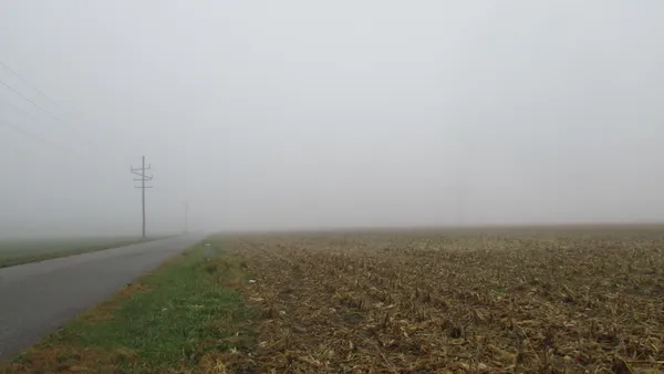
Circle City Briefing: Tournament Heat Meets a Foggy Commute

Official Bulletin: Infrastructure Updates and Public Notices for March 5