Snow Flurries and Storm Alerts: A High-Contrast Wednesday for Indianapolis
Morning: Residual Snow and Broken Clouds
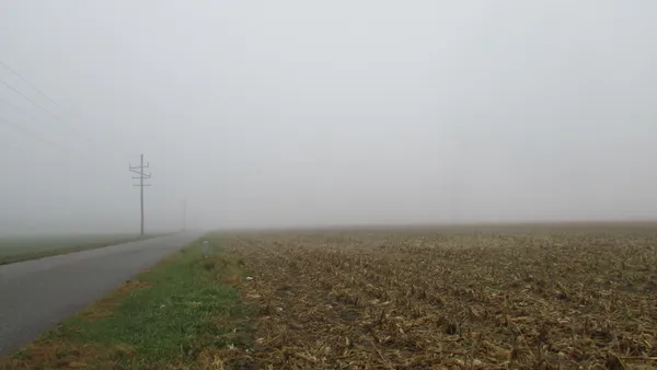
Indianapolis residents woke up to a wintry scene this Wednesday, February 25, 2026, as light snow moved through the region during the early morning hours. Precipitation totals remained modest, with roughly 0.11 inches of snow accumulation reported across Marion County. The early commute saw temperatures hovering in the low 30s, creating some slick spots on secondary roads, though the widespread snow tapered off by 8:00 AM. As the morning progresses, the overcast sky is expected to transition into broken cloud cover, offering glimpses of the sun before noon.
Midday: A Brief Surge of Unseasonable Warmth
Between 11:00 AM and 2:00 PM, the Circle City will experience a significant temperature swing. Despite the snowy start, a westward wind of 11 mph will help pull the mercury up to a high of 48°F. This unseasonable warmth will make for a pleasant midday break, with humidity levels dropping to approximately 39%. The UV index is forecast to reach a moderate level 3, so while it may feel like spring for a few hours, the clearing skies are merely the precursor to a more volatile weather transition later in the day.
Afternoon Alert: Severe Storm Risks
The primary concern for today is a sharp cold front arriving in the late afternoon. The National Weather Service in Indianapolis has issued a hazardous weather briefing, indicating that severe storms are likely to develop as the front clashes with the midday warmth. Surprisingly for late February, the alert includes a mention of potential tornadoes and localized squalls. While the chance of precipitation is currently pegged at 22%, any storms that do form could move quickly and bring intense wind gusts. Lead forecasters advise residents to remain weather-aware through the evening transition.
Evening Outlook: Cooling Skies and Overnight Freeze
Following the passage of the afternoon front, conditions will stabilize quickly, though the air will take on a sharp chill. Sunset is scheduled for 6:32 PM, by which time temperatures will have already begun their descent back toward the freezing mark. The evening will be characterized by partly cloudy skies and a steady drop in temperature, eventually reaching an overnight low of 29°F. Residents are encouraged to dress in layers today to manage the swing from morning flurries to afternoon warmth and the subsequent late-night freeze.
- Morning: Light snow ending (0.11"), low 30s.
- Afternoon High: 48°F with breaking sun.
- Evening: Partly cloudy and cooling to 29°F.
- Hazards: High-wind squalls and severe storm risk per NWS briefing.
Hoops Fever in Indy: Big Ten Women’s Tournament and G-League Action Headline Match Day

Circle City Briefing: Tournament Heat Meets a Foggy Commute

Official Bulletin: Infrastructure Updates and Public Notices for March 5